Vogelsberg Mountains
A low mountain complex in central Germany formed by an ancient shield volcano; notable for extensive basalt layers, upland moors and forests, and recreational and conservation value.
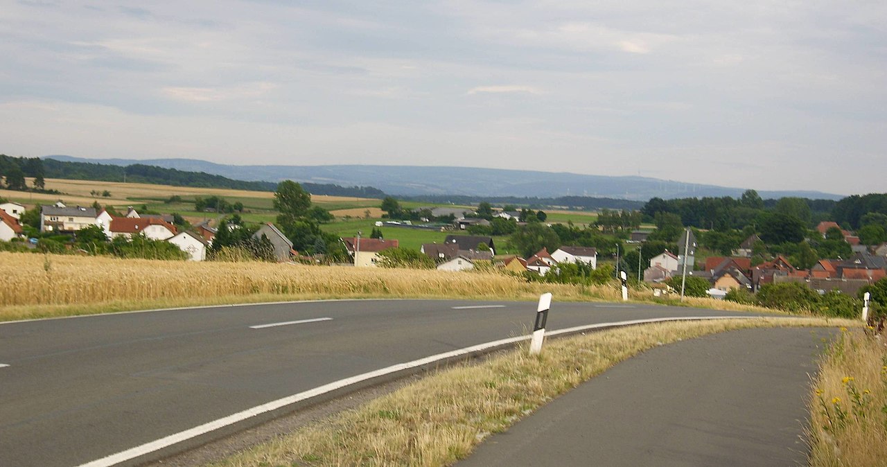
The Vogelsberg Mountains form a gently rounded upland in central Germany, occupying much of the middle of the state of Hessen. They are distinguished from surrounding ranges by their volcanic origin: the Vogelsberg is the remnant of an extinct shield volcano whose eruptions laid down widespread basaltic flows and rock layers. The area today is a mix of forested slopes, moors and cultivated valleys and is valued for outdoor recreation, water catchment and nature protection.
Image gallery
9 Images


Geology and formation
The Vogelsberg developed about 19 million years ago during the Miocene as a large, relatively low-angle volcano. Because its eruptions produced fluid, basaltic lava that spread over wide areas, the edifice took the form of a shield volcano rather than a steep stratovolcano; it is often cited as Germany's only example of this volcanic type and as the largest basalt formation in Central Europe. Successive flows and intrusions produced multiple stacked layers of basalt and related rocks; erosion over millions of years produced the present dome-like topography and ring-shaped terraces around former vents.
Landscape, ecology and hydrology
The surface of the Vogelsberg is characterized by rounded summits, upland plateaus, wet moors and broad mixed forests. Typical tree cover includes beech and spruce plantations as well as remnant native woodland. Peatlands and raised bogs occur on poorly drained plateaus and are important ecological habitats. The uplands act as a watershed for several regional rivers and help regulate local water supplies; the Vogelsberg also contains reservoirs and springs used for drinking water and small-scale hydro management.
Human use and conservation
Human settlement and use of the Vogelsberg has included pastoral agriculture, forestry, and quarrying of basalt for roadstone and building material. Today the area attracts hikers, cyclists and winter-sports visitors, with trails, viewpoints and visitor facilities on prominent summits. Parts of the high country are protected for conservation; for example, sections around the higher peaks are managed as nature reserves and parks to conserve habitats and scenic values while allowing recreation and sustainable forestry. See local conservation authorities for specifics: protected areas.
Peaks and access
Although modest in elevation compared with the Alps, the Vogelsberg has several notable high points that serve as landmarks and access nodes for outdoor activities. Two of the best known summits are Taufstein (about 773 m) and Hoherodskopf (about 763 m). These heights provide panoramic views over the surrounding countryside and host trails, viewpoints and visitor amenities. The range is separated from the nearby Rhön Mountains by the valley of the Fulda River, which forms an important corridor of lowland between the two uplands.
Notable facts and distinctions
- The Vogelsberg is commonly described as a shield volcano, representing an unusual volcanic form in central Europe; geological summaries and educational resources discuss this aspect in more detail (volcanic origin).
- Its bedrock is dominated by basaltic rocks; the extensive basalt formations have influenced soil, land use and historic quarrying activity (basalt geology).
- The region combines recreational importance with roles in water supply and biodiversity conservation; local nature parks and reserves provide regulated access for visitors (nature protection).
For visitors and researchers the Vogelsberg offers an accessible example of volcanic landscapes in a temperate European setting, where geology, ecology and human land uses interact across a broad, gently sloping upland. Practical information about trails, protected zones and local services is published by regional tourism and conservation bodies and local authorities (regional information, park authorities).
Questions and answers
Q: Where are the Vogelsberg Mountains located?
A: The Vogelsberg Mountains are located in central Germany, in the state of Hessen.
Q: How were the Vogelsberg Mountains formed?
A: The Vogelsberg Mountains were formed by ancient volcanic activity.
Q: How old are the Vogelsberg Mountains?
A: The Vogelsberg Mountains are approximately 19 million years old.
Q: Is the Vogelsberg Mountains the only shield volcano in Germany?
A: Yes, the Vogelsberg Mountains are the only shield volcano in Germany.
Q: What is the Vogelsberg Mountains' significance in Central Europe?
A: The Vogelsberg Mountains contain the largest basalt formation in Central Europe.
Q: What are the names and heights of the highest mountains in the Vogelsberg Mountains?
A: The highest mountains in the Vogelsberg Mountains are Taufstein, 773 m (2,536 ft), and Hoherodskopf, 763 m (2,503 ft).
Q: Is there a national park in the Vogelsberg Mountains?
A: Yes, there is a national park in the Vogelsberg Mountains called the Hoher Vogelsberg Nature Reserve, and both Taufstein and Hoherodskopf are now within it.
Related articles
Author
AlegsaOnline.com Vogelsberg Mountains Leandro Alegsa
URL: https://en.alegsaonline.com/art/105780