
Vermont: geography, history, economy and culture
Compact encyclopedia entry on Vermont covering geography, history, economy, culture and notable features, including statehood, neighbors, maple syrup and tourism.
Overview
Vermont is a small, largely rural state in the United States. Its capital is Montpelier, one of the least populous state capitals in the country, and its largest city is Burlington, a regional center on the eastern shore of Lake Champlain often identified with the nearby University of Vermont. The state is commonly called the "Green Mountain State," a name that reflects both its forested hills and the French origin of its name (Vert Mont).
Image gallery
10 Images




Geography and environment
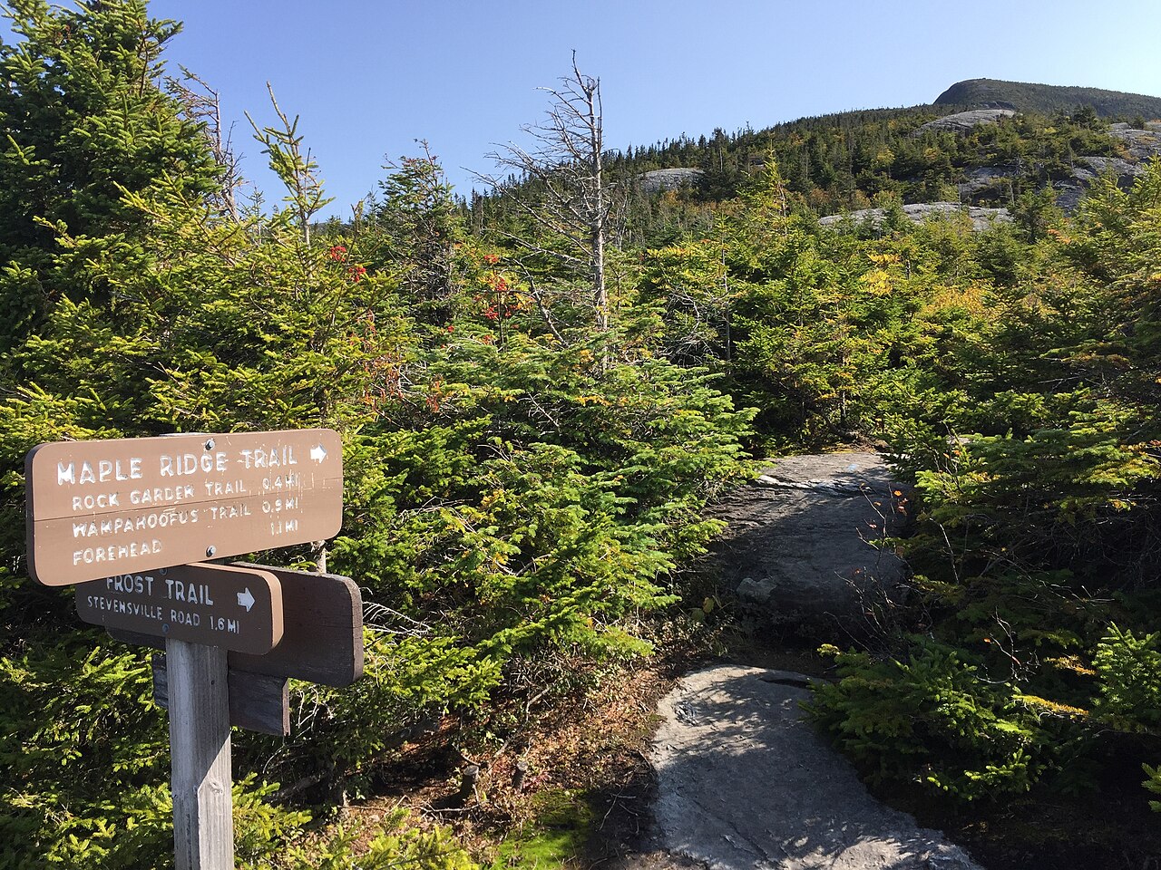
Vermont occupies a central place in the New England region. It is bordered by Massachusetts to the south, New Hampshire to the east across the Connecticut River, New York to the west across Lake Champlain and other lands, and by the Canadian province of Quebec to the north; the northern neighbor is part of Canada. The state's terrain is dominated by the Green Mountains running north–south, interspersed with valleys, lakes and river systems. Vermont's climate is continental, with cold winters and warm summers; its forests create vivid autumn foliage that draws substantial seasonal tourism.
History and statehood
Indigenous peoples including the Abenaki and groups related to the Iroquois lived in the area for centuries before European contact and established seasonal hunting and agricultural practices. European claims shifted between colonial powers: France held influence in the seventeenth and early eighteenth centuries before control passed to Great Britain after the struggle often called the French and Indian War. During the American revolutionary era the territory took a distinctive path: it functioned for a time as an independent republic rather than as one of the original thirteen colonies, and it was admitted to the United States as the fourteenth state in 1791. Early Vermont documents are notable for progressive language for the period, including provisions that addressed slavery.
Economy, industry and culture
Vermont's economy blends agriculture, manufacturing, and a significant tourism sector. Dairy farming and specialty agriculture remain important; the state is particularly well known worldwide for its production of maple syrup. Outdoor recreation — skiing, hiking, foliage tours and lake activities — supports year-round visitation, while small-scale manufacturing, artisanal food and craft industries contribute to local identity and export. Cultural life often emphasizes community arts, independent businesses and farm-to-table foodways, with festivals and seasonal events that attract visitors.
Government, institutions and society
Vermont has a reputation for active civic participation and local governance traditions, with town meetings and community institutions playing a large role in public life. Education, conservation and historic preservation are prominent policy concerns. Burlington serves as an educational and cultural hub, hosting institutions that influence the broader region. While Vermont's population is small compared with many states, its residents maintain a distinct regional culture within New England.
Notable facts and attractions
- Major recreational draws include mountainous terrain for winter sports and extensive trails for summer activities.
- Scenic drives and leaf-peeping in autumn are internationally known tourist attractions.
- Visitors and residents alike celebrate agricultural products and local food traditions, including maple syrup and artisanal cheeses.
For further reading about the state's cities, history and economy see resources on Montpelier (capital) and Burlington (largest city), regional neighbors (Massachusetts, New Hampshire, New York, Quebec), early European powers (France, Great Britain) and colonial conflicts (French and Indian War). To learn about Indigenous history consult sources on Abenaki and Iroquoian peoples and broader Native American histories. Additional state information and visitor guidance is available through official and cultural portals (state, national, city, international, food and agriculture).

Geography
Vermont borders Canada to the north (15 border crossings), New York (state) to the west, Massachusetts to the south, and New Hampshire to the east, where the Connecticut River forms the border. Seventy-seven percent of the state is covered by deciduous forests, especially maple trees. Lake Champlain is Vermont's largest lake and the ninth largest inland body of water in the United States. It is about 180 kilometers long, 19 kilometers wide, and forms about 50 percent of Vermont's western border. At the edge of the lake is the fertile Champlain Valley. The Green Mountains are a heavily forested low mountain range; its north-south axis runs nearly the entire length of Vermont. In southwestern Vermont lie the Taconic Mountains.
Fauna and flora
Forests were cleared for farmland; by 1850, nearly 70 percent of the once large stands had been cleared. In the following decades, many of Vermont's farmers moved to the Wild West or to industrial cities on the East Coast. Quite a few of the farms gradually fell into disrepair and the land again became forested. Populations of previously nearly extirpated species (brown bear, moose, coyotes, and wild turkeys) rebounded.

Related articles
Author
AlegsaOnline.com Vermont: geography, history, economy and culture Leandro Alegsa
URL: https://en.alegsaonline.com/art/104682
Sources
- senate.gov : "Senators of the 114th Congress"
- ngs.noaa.gov : "Mt Mansfield Highest Point"
- egsc.usgs.gov : "Elevations and Distances in the United States" · web.archive.org
- kff.org : "Median Annual Household Income"
- uvm.edu : Perkins Geology Museum
- commons.wikimedia.org : Vermont