
Belubula River: geography, history, and significance
The Belubula River is a perennial tributary of the Lachlan in central west New South Wales, Australia, known for its course through historic towns, Indigenous connections, and local water uses.
Overview
The Belubula River is a perennial waterway in the central west region of New South Wales, Australia. It forms part of the broader Murray–Darling basin through its junction with the Lachlan River. The river has been an important local feature for Indigenous people, European settlers, agriculture and small towns along its course.
Image gallery
6 Images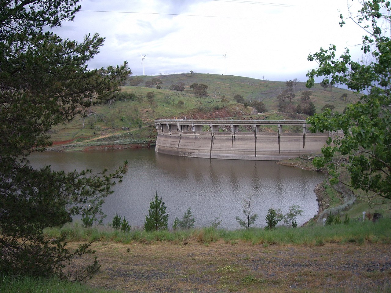


Course and tributaries
The Belubula rises near Vittoria, roughly between the regional centres of Bathurst and Orange. From its upper catchment the river flows generally south and west, collecting water from several smaller creeks and gullies before passing into the impounded Carcoar Lake (a reservoir formed on the river). It continues downstream and finally reaches its mouth where it joins the Lachlan River east of Gooloogong. Major settlements encountered along the flow include Blayney, Carcoar and Canowindra.
Physical characteristics
Over its course the Belubula descends some 674 metres and extends for about 165 kilometres. It is described as perennial, meaning it generally carries water year-round although flow rates vary with seasonal rainfall and drought. The river’s channel alternates between narrower upland reaches with rock and gravel substrates and wider lowland sections, with vegetated banks and slower flows where wetlands or farm lagoons form.
Name and Indigenous connections
The name Belubula is derived from an Indigenous Australian word commonly interpreted as "stony river" or "big lagoon." The river lies within the traditional lands of the Wiradjuri people, who have cultural and historical associations with the waterway and its resources. Many place names and local stories reflect that long connection to country.
Towns, uses and recreation
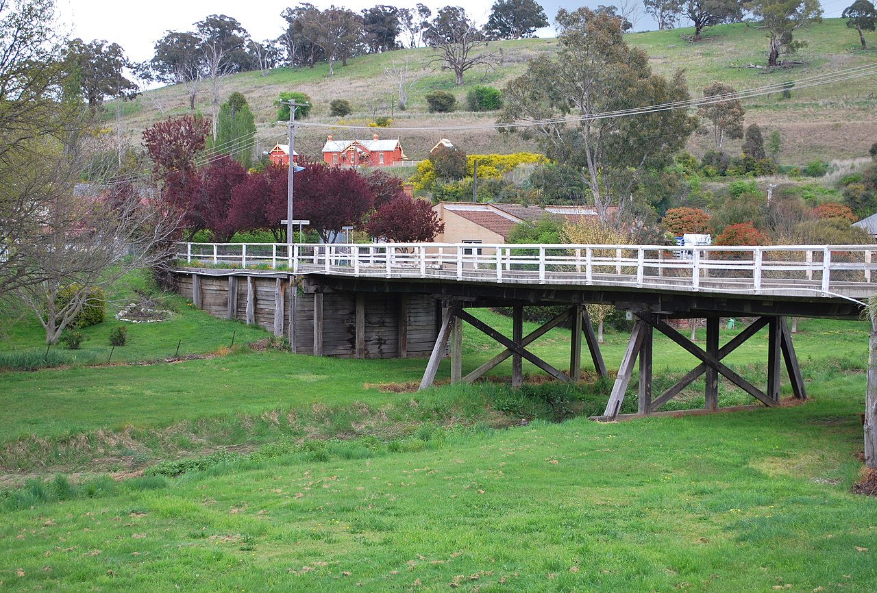
Several historic towns are sited on or near the Belubula and its lake. From the headwaters downstream notable centres include Blayney, Carcoar and Canowindra. The river and Carcoar Lake are used locally for stock and irrigation water, town water supplies in dry seasons, and recreational activities such as fishing, boating and informal swimming. The river corridor also contributes to local tourism, with heritage buildings and rural landscapes attracting visitors.
Conservation, management and notable facts
Management of the Belubula’s flows and water quality involves a mix of state water planning, local government, catchment groups and private landholders. Like many inland rivers in south-eastern Australia it faces pressures from periodic drought, altered flow regimes, invasive species and land-use change. Efforts to maintain riparian vegetation, manage erosion and protect aquatic habitat aim to balance agricultural needs with ecological values. For further regional context see the linked resources and local council publications.
- Key figures: length ~165 km; total fall ~674 m.
- Hydrological role: tributary of the Lachlan, part of the Murray–Darling basin.
- Cultural links: Wiradjuri country; name reflects Indigenous language.
For maps, management plans and historical detail consult regional authorities and local histories via the provided resource links: Belubula River overview, central west information, NSW resources, national context, Lachlan River connections, Bathurst region, Orange region, mouth and confluence, Carcoar town details.
Questions and answers
Q: Where is Belubula River located?
A: Belubula River is located in the central west region of New South Wales, Australia.
Q: Where does Belubula River flow into?
A: Belubula River flows into the Lachlan River, which is part of the Murray-Darling basin.
Q: Where does Belubula River begin?
A: Belubula River begins near Vittoria, between Bathurst and Orange.
Q: What is the meaning of the name Belubula?
A: The name Belubula comes from the Indigenous Australian word for "stony river" or "big lagoon".
Q: Who were the first people to live by the Belubula River?
A: The first people to live by the Belubula River are the Wiradjuri clan.
Q: What towns are located on the Belubula River?
A: Towns on the Belubula River, from its source towards its mouth, include Blayney, Carcoar, and Canowindra.
Q: How much does Belubula River drop over its course of 165 kilometres?
A: Belubula River drops 674 metres (2,211 ft) over its course of 165 kilometres (103 mi).
Related articles
Author
AlegsaOnline.com Belubula River: geography, history, and significance Leandro Alegsa
URL: https://en.alegsaonline.com/art/10409
Sources
- gnb.nsw.gov.au : "Belubula River"
- bonzle.com : "Map of Belubula River"
- lachlan.cma.nsw.gov.au : "Cultural heritage"