
U.S. Route 270 — overview, route, and significance
U.S. Route 270 (US 270) is a 643-mile spur of US 70 running from Liberal, Kansas to White Hall, Arkansas, traversing Kansas, Oklahoma and Arkansas and serving urban centers and rural corridors.
Overview
U.S. Route 270 (US 270) is a marked east–west highway in the United States that functions as a spur of U.S. Route 70. The route extends roughly 643 miles (about 1,035 km) from its western terminus in Liberal, Kansas at US 54 to its eastern end in White Hall, Arkansas where it meets Interstate 530 and US 65. It crosses three states: Kansas, Oklahoma, and Arkansas, and links a mix of rural areas and larger population centers.
Image gallery
2 Images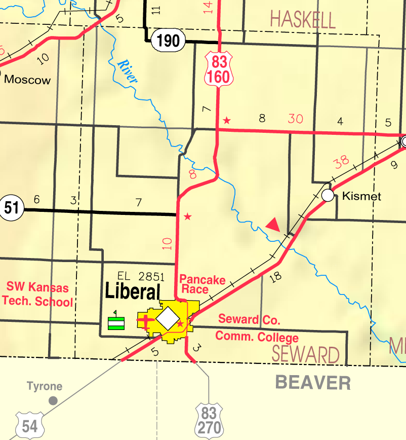

Route characteristics and major stops
The character of US 270 varies along its length: some stretches are two-lane rural roads, while others expand into multi-lane urban or suburban arterials and sections that run concurrently with other U.S. highways or interstates. Key cities and towns on the corridor include the Oklahoma metropolitan area of Oklahoma City, McAlester in southeastern Oklahoma, and Hot Springs in Arkansas, known for its national park and thermal springs.
- Western terminus: Liberal, Kansas at US 54
- Major Oklahoma stops: Oklahoma City and McAlester
- Arkansas corridor: passes near Hot Springs and terminates at White Hall, Arkansas
- Eastern terminus: junction with I-530/US 65 in White Hall
Throughout its length US 270 intersects significant routes that facilitate regional travel and freight movement. While detailed junction lists vary by state, travelers use US 270 both for local access and for longer cross-state trips because of these connections.
History and numbering
US 270 is part of the U.S. Numbered Highway System and carries a three‑digit designation that indicates it is a spur of the two‑digit parent route, US 70. Like many U.S. highways, its alignment has evolved over time with realignments, short concurrencies, and occasional transfers to state or interstate routes. Its development reflects broader 20th-century patterns of expanding long‑distance road networks and adapting older highways to changing traffic needs.
Uses and regional importance
The route plays several practical roles: it provides regional connectivity for commerce, offers access to tourist destinations such as Hot Springs, and serves as a local arterial in and around larger towns and cities. For agricultural and energy-producing regions in Oklahoma and Kansas, US 270 is also a useful corridor for transporting goods to market and linking to interstate highways.
Notable features and distinctions
US 270 illustrates common features of U.S. numbered spurs: it connects smaller communities to larger national routes, mixes rural and urban segments, and frequently overlaps with other highways. Its span across three states and its role in linking interior plains with the Arkansas River valley make it a noteworthy component of regional road infrastructure.
For state-specific details, including current route maps, maintenance jurisdiction, and planned improvements, consult state transportation resources or regional maps for Kansas, Oklahoma, and Arkansas.
Questions and answers
Q: Where does US 270 start?
A: US 270 starts in Liberal, Kansas at US 54.
Q: How long is the route?
A: US 270 is 643 miles (1,035 km) long.
Q: What states does it go through?
A: US 270 goes through the states of Arkansas, Oklahoma, and Kansas.
Q: What cities does it pass through?
A: US 270 passes through the cities of Oklahoma City, Oklahoma; Hot Springs, Arkansas; and McAlester, Oklahoma.
Q: Where does US 270 end?
A: US 270 ends in White Hall, Arkansas at Interstate 530 (I-530) and US 65.
Q: What other highway is connected to the endpoint of Route 270?
A: The endpoint of Route 270 is connected to Interstate 530 (I-530) and US 65.
Q: Is Route 70 a spur of Route 270?
A: Yes, Route 70 is a spur of Route 270.
Related articles
Author
AlegsaOnline.com U.S. Route 270 — overview, route, and significance Leandro Alegsa
URL: https://en.alegsaonline.com/art/102422