
Belait District — geography, administration, economy and history
Belait District is Brunei's largest district by area. Located on the island of Borneo, it includes the administrative town Kuala Belait and the oil-producing area of Seria, with coastal and inland environments.
Overview
Belait District is the westernmost and largest of the four districts of Brunei. Its administrative centre is the town of Kuala Belait. The district combines coastal lowlands and inland forested areas, and it plays an outsized role in the country’s economy because of petroleum-related activity.
Image gallery
10 Images


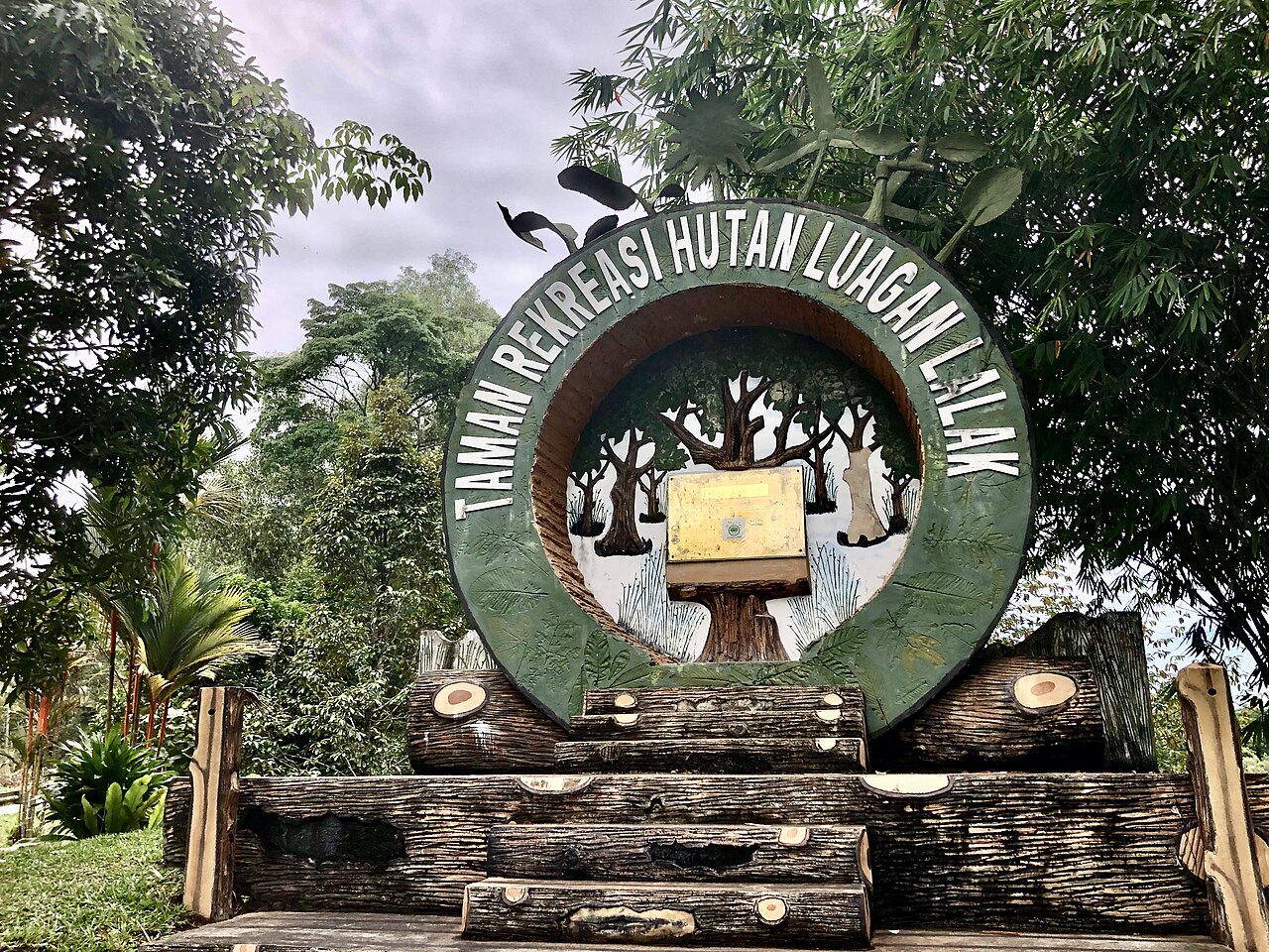
Geography and environment
To the north the district meets the South China Sea, while to other sides it borders neighbouring territories and Brunei’s other districts. The Belait River, the longest river in Brunei, crosses the district and drains into the sea near Kuala Belait. Landscapes range from mangrove-lined coasts and tidal flats to peat swamps and low hills further inland, supporting a mixture of coastal and rainforest species.
Administrative divisions
Belait is divided into eight subdistricts known locally as mukims. These mukims encompass towns, villages and rural areas; notable population and service centres include Kuala Belait (the district seat) and Seria, which is closely associated with energy industry facilities.
Economy and infrastructure
The district is a centre for Brunei’s oil and gas sector. Both onshore and offshore fields around Seria and nearby waters have driven industrial development, employment and local investment. Road connections link Belait with the rest of Brunei and with neighbouring regions; local ports and river transport also support fishing and commerce.
History and culture
Belait takes its name from an indigenous ethnic group of the same name and has long been home to Malay and indigenous communities. The discovery and exploitation of petroleum in the early 20th century transformed settlement patterns and the local economy, bringing workers, infrastructure and new services to coastal towns.
Notable facts and significance
- Largest district by area in Brunei and traversed by the country’s longest river.
- Contains key towns that serve administrative, commercial and energy-sector roles.
- Mixes coastal ecosystems with inland forests, making it important for both biodiversity and resource production.
Together these features make Belait a district of geographic variety and strategic importance to Brunei’s economy and cultural landscape.
Questions and answers
Q: What is the Belait District?
A: The Belait District is a district in Brunei.
Q: What is the capital city of the Belait District?
A: The capital city of the Belait District is Kuala Belait.
Q: Is the Belait District the largest district in Brunei?
A: Yes, the Belait District is the largest district in Brunei.
Q: What body of water is located to the north of the Belait District?
A: The South China Sea is located to the north of the Belait District.
Q: Does the Belait River flow through the Belait District?
A: Yes, the Belait River flows through the Belait District.
Q: Is the Belait River the longest river in Brunei?
A: Yes, the Belait River is the longest river in Brunei.
Q: How many mukims or subdistricts is the Belait District divided into?
A: The Belait District is divided into 8 mukims or subdistricts.
Related articles
Author
AlegsaOnline.com Belait District — geography, administration, economy and history Leandro Alegsa
URL: https://en.alegsaonline.com/art/10189
Sources
- depd.gov.bn : sheet T2
- dialingcode.com : dialingcode.com/country/brunei
- information.gov.bn : "Belait District"