Tsugaru Strait
A strategic sea passage between Honshu and Hokkaido, linking the Sea of Japan and the Pacific Ocean; noted for strong currents, rich fisheries, and the undersea rail connection.
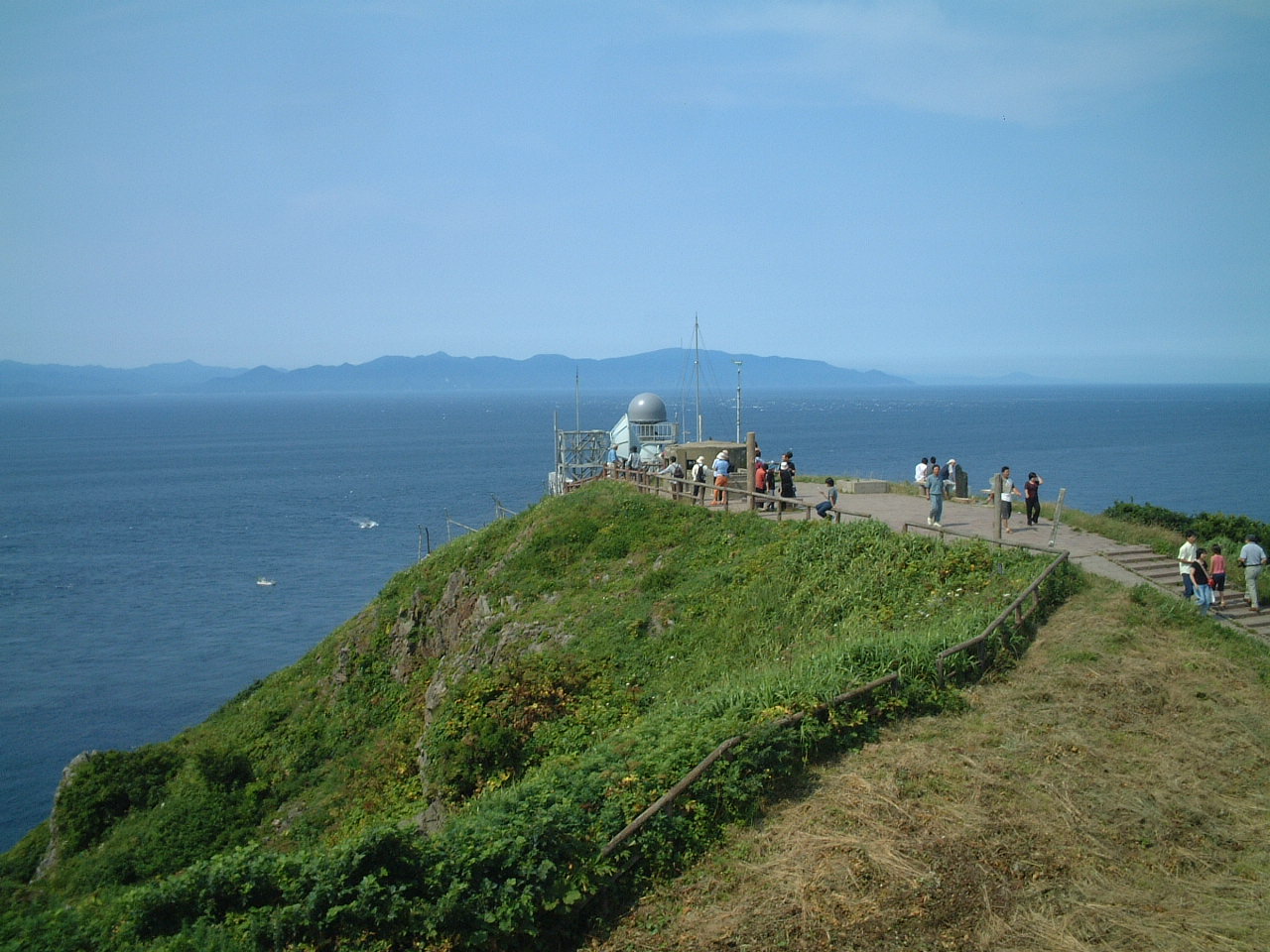
The Tsugaru Strait is the marine channel that separates Japan’s largest island, Honshu, from the northern island of Hokkaido. It forms a natural link between the Sea of Japan and the Pacific Ocean, and lies off the coast of northern Japan. The name derives from the Tsugaru area on the western side of Aomori Prefecture, and the strait’s Japanese name, Tsugaru Kaikyō, is commonly used in maps and nautical guides. As a passageway it has long mattered to local communities, national transport planners and maritime traffic.
Image gallery
6 Images


Physical characteristics
The strait is marked by variable bathymetry and dynamic water movements. Tidal flows and exchanges of colder Japan Sea water with warmer Pacific water create strong currents, eddies and zones of mixing. These conditions affect weather near the coast: fog, gusty winds and rapid changes in sea state can occur, particularly in seasonal transitions. The mixing of distinct water masses supports high biological productivity, making the area important for fisheries.
Human uses and infrastructure
Maritime traffic, regional ferries and fishing vessels regularly use the Tsugaru Strait. In the late 20th century an undersea rail link was completed to provide a fixed transportation connection beneath the strait, reducing travel time between the two islands while ferries continue to operate for passengers and freight. The route remains commercially important for coastal shipping and for communities that depend on marine resources.
Historically the strait has been a corridor for trade and movement between northern Honshu and Hokkaido, and it has influenced settlement patterns on adjacent coasts. Coastal towns developed ports and services to support fishing fleets and ferry operations, and the surrounding region has distinctive cultural traditions linked to its maritime environment.
Ecologically, the Tsugaru Strait supports a range of fish and invertebrate species; seasonal migrations of pelagic fish and cephalopods attract fishing effort and shape local economies. Conservation and fisheries management are part of regional planning because the productive waters are subject to both national and local use pressures.
- Geographic role: connects two major seas and separates Honshu from Hokkaido.
- Navigation: busy passage with ferry services and shipping lanes; weather and currents can be challenging.
- Infrastructure: an undersea rail connection exists, supplemented by ferry links.
- Cultural and economic importance: supports fisheries and coastal communities in Aomori and Hokkaido.
- Further reading: see navigation guides and regional marine studies via channel overview and other resources.
For maps, shipping notices and detailed hydrographic information consult official maritime publications and regional sources; local tourism and fisheries agencies also provide practical guidance for visitors and operators navigating the strait.
Questions and answers
Q: What is the Tsugaru Strait?
A: The Tsugaru Strait is a channel located between Honshu and Hokkaido islands in northern Japan that connects the Sea of Japan with the Pacific Ocean.
Q: Why was the Tsugaru Strait named so?
A: The Tsugaru Strait was named after the western part of Aomori Prefecture.
Q: Which two bodies of water are connected by the Tsugaru Strait?
A: The Tsugaru Strait connects the Sea of Japan with the Pacific Ocean.
Q: Where is the Tsugaru Strait located?
A: The Tsugaru Strait is located in northern Japan between the islands of Honshu and Hokkaido.
Q: What is the meaning of Tsugaru Kaikyo?
A: Tsugaru Kaikyo is the Japanese name for the Tsugaru Strait.
Q: Is the Tsugaru Strait a natural or man-made channel?
A: The Tsugaru Strait is a natural channel.
Q: What is the history of the Tsugaru Strait?
A: There is no additional information in the given text about the history of the Tsugaru Strait.
Related articles
Author
AlegsaOnline.com Tsugaru Strait Leandro Alegsa
URL: https://en.alegsaonline.com/art/101882
Sources
- books.google.com : "Tsugaru Kaikyō"
- books.google.com : "Tsushima Kaikyō"
- tools.wmflabs.org : 41°29′57″N 140°36′57″E / 41.49917°N 140.61583°E / 41.49917; 140.61583