Truyère — river in southwestern France
The Truyère is a river in south-central France, a principal tributary of the Lot, noted for deep gorges, hydroelectric reservoirs and engineering landmarks such as the Garabit viaduct.
Truyère (Occitan: Truèire) is a river in southwestern France. Its headwaters rise in upland plateaus and it flows through a mix of highland valleys and carved gorges before joining the Lot, of which it is a principal tributary. The river's general location is indicated by the coordinates 44°38′37″N 2°33′45″E.
Image gallery
7 Images


Course and characteristics
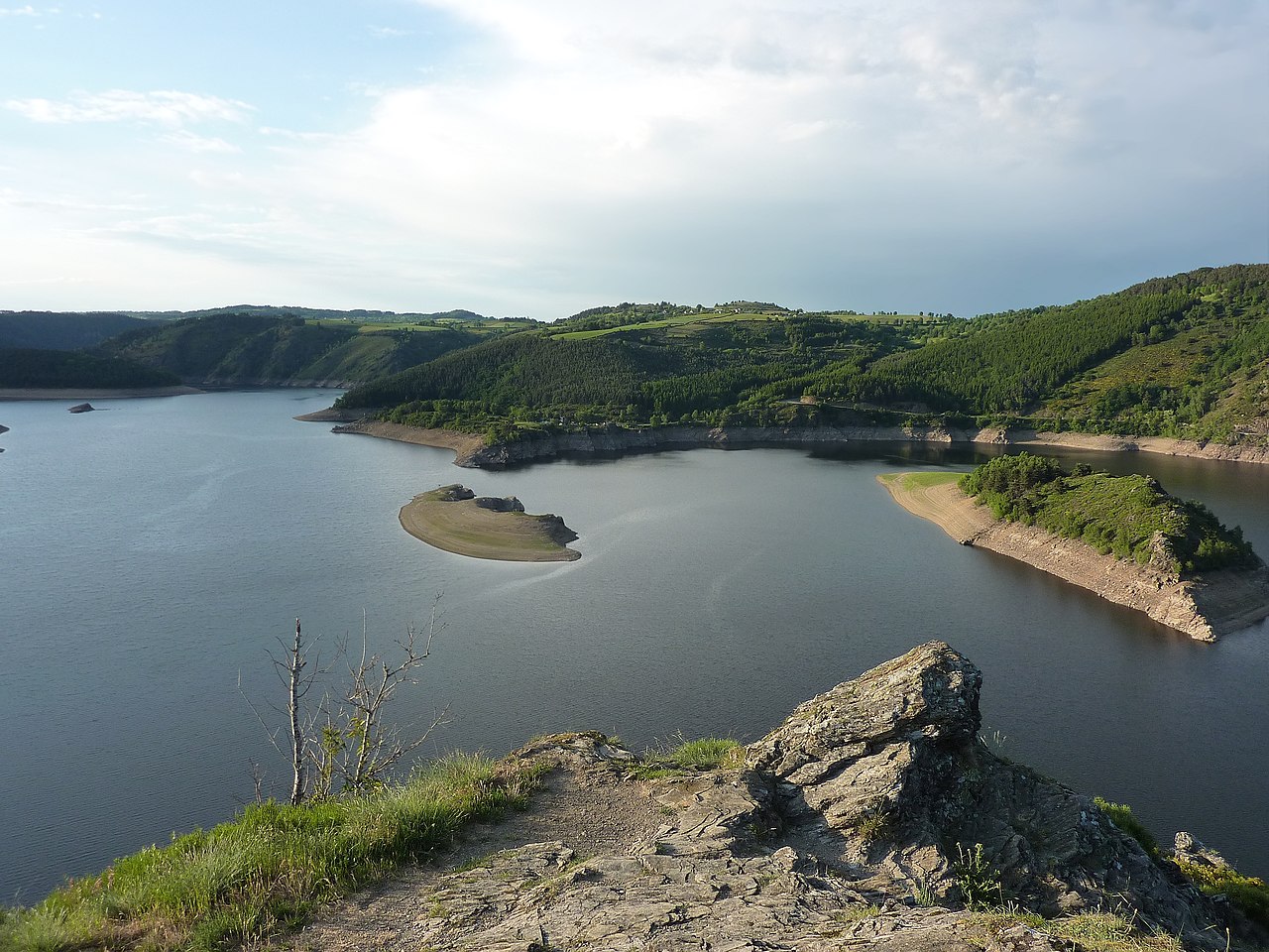
The Truyère runs from upland springs across varied terrain, alternating between steep, rocky stretches and broader valley floors. Along its course the river has incised notable gorges and forms several deep reservoirs where dams have been constructed. Its flow and gradient make it a significant waterway within its catchment and a contributor to the Lot's regime.
History and infrastructure
During the 20th century the Truyère became important for regional hydroelectric development. Several dams and artificial lakes were built to produce power, regulate flow and provide water storage. Large concrete structures transformed parts of the river into reservoirs and altered local landscapes and economies.
Uses and recreation
- Hydropower and water management — the river's reservoirs supply electricity and seasonal flow control.
- Recreation — boating, fishing and canoeing take place in calmer reaches and reservoirs.
- Tourism — the scenic gorges and viewpoints attract walkers and visitors interested in geology and river valleys.
Ecology and notable facts
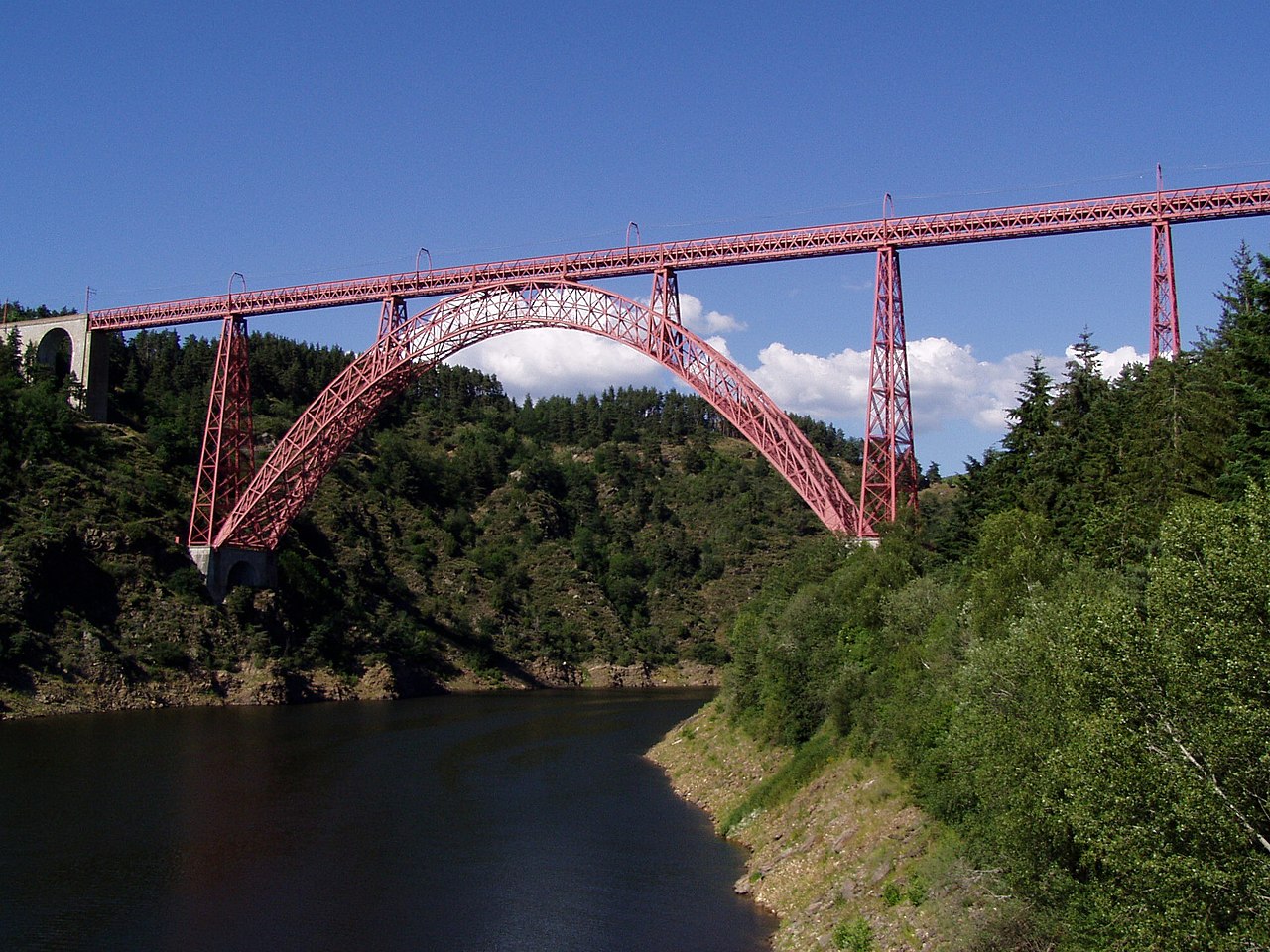
The Truyère basin supports a mix of upland and riparian habitats. Reservoirs changed local ecosystems, creating new wetlands while inundating formerly free-flowing channels. The valley is also crossed by notable engineering works: the famous Garabit viaduct spans a Truyère gorge and is widely cited as an iconic example of 19th-century bridge design.
The river is described in many regional guides and maps and is a significant natural feature of the area, balancing resource use, landscape value and biodiversity. For general reference the Truyère is identified simply as a river contributing to the network of waterways in southwestern France.
Questions and answers
Q: Where is the Truyère river located?
A: The Truyère river is located in southwestern France.
Q: What are the coordinates of the Truyère river?
A: The coordinates of the Truyère river are 44°38′37″N 2°33′45″E / 44.64361°N 2.56250°E / 44.64361; 2.56250.
Q: What is the Truyère river's tributary?
A: The Truyère river's tributary is the Lot river.
Q: What is the Truyère river?
A: The Truyère river is a river in southwestern France.
Q: Is the Truyère river a main tributary of the Lot river?
A: Yes, the Truyère river is a main tributary of the Lot river.
Q: What is the Truyère river called in Occitan?
A: In Occitan, the Truyère river is called Truèire.
Q: What direction does the Truyère river flow in?
A: The text does not provide information on what direction the Truyère river flows in.
Related articles
Author
AlegsaOnline.com Truyère — river in southwestern France Leandro Alegsa
URL: https://en.alegsaonline.com/art/101846
Sources
- services.sandre.eaufrance.fr : "La Truyère (O7--0250)"
- hydro.eaufrance.fr : "La Truyère à Entraygues-sur-Truyère"
- geoportail.gouv.fr : "Source de La Truyère"
- geoportail.gouv.fr : "Confluence de La Truyère"