Transantarctic Mountains
Major Antarctic mountain chain that divides East and West Antarctica. Extending more than 3,200 km, it shapes ice flow, preserves fossils and hosts some of the continent’s most extreme landscapes.
Overview
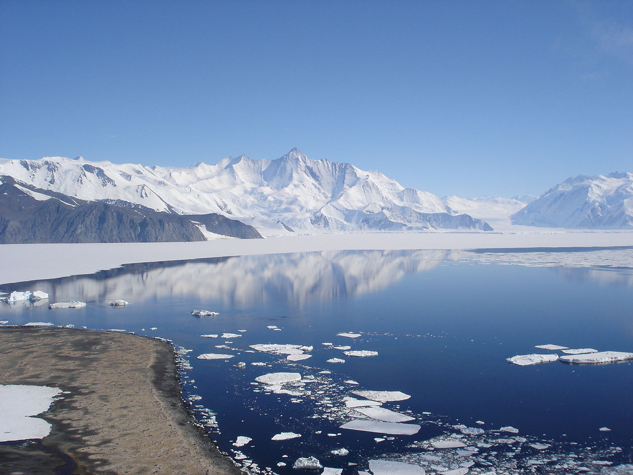
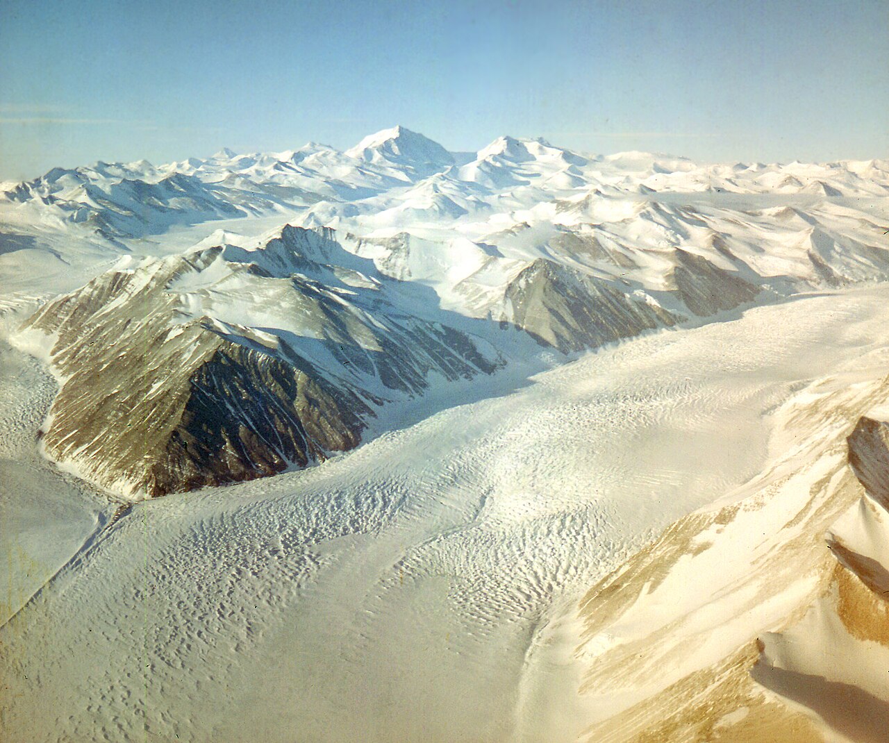
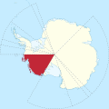
The Transantarctic Mountains are the principal mountain chain that bisects the continent of Antarctica, forming a broad natural divide between East and West Antarctica. The range extends for more than 3,200 km across the ice-covered continent and rises in places as a series of rugged peaks, escarpments and valleys. Although it skirts the continental interior, the mountain system is distinct from the Antarctic Peninsula, which lies to the northwest and is not part of this chain (Antarctic Peninsula).
Image gallery
10 Images


Geology, form and notable features
Geologically the Transantarctic Mountains expose a long record of bedrock: layered sedimentary sequences sitting above older metamorphic and igneous basement, with younger volcanic intrusions in places. Uplift and faulting associated with the breakup of ancient supercontinents have produced the present topography and influenced the flow of large outlet glaciers that cut through the chain. The range controls the movement of ice from the polar plateau toward the surrounding seas and creates local microclimates such as the relatively dry valleys where ice is scarce.
- Major corridors and glaciers that traverse or border the range include historic routes used by early Antarctic expeditions (for example, routes near the Beardmore Glacier).
- Distinct regions within the system include coastal mountains adjacent to the Ross Sea, interior escarpments, and the McMurdo Dry Valleys—an area of special scientific interest.
- Fossil-bearing outcrops and isolated peaks preserve evidence of past climates and life on Antarctica.
Notable discoveries in these rocks have included plant and animal fossils that testify to a very different ancient climate. The mountains thus provide key constraints on the geological history of Antarctica and the timing of ice-sheet formation.
Life, research and human presence
Life inside the Transantarctic Mountains is extremely limited. Where exposed rock and pockets of soil occur, simple organisms survive: communities of bacteria, hardy lichens, and cold-adapted algae and fungi occupy rock faces, meltwater streams and sheltered niches. Human presence is concentrated at coastal research stations and seasonal field camps; scientists study paleontology, glaciology, climate records and microbial ecology in accessible areas.
History and naming: the term "Transantarctic Mountains" came into general scientific use in the mid-20th century as geologists recognized the continuity of the chain across the continent. Since then the range has remained central to understanding Antarctica’s geological evolution and its role in past and present climate systems.
Geographical breakdown
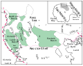
- Mountains of Victoria Land
- Prince Albert Mountains
- Queen Alexandra Range
- Queen Maud Mountains
- Horlick Mountains
- Thiel Mountains
- Pensacola Mountains
Geology
· 
Location of Marie Byrd Land
· 
Map of the Antarctic Peninsula
· 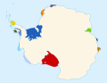
Antarctic ice shelves with the Ross Ice Shelf marked in red
· 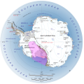
Location and extent of the West Antarctic Rift System
· 
Map of the West Antarctic Rift
· ![]()
Tectonic principles of the West Antarctic Rift System and Transantarctic Mountains
The Transantarctic Range consists of a basement formed by rocks of the Ross orogen and overlying supracrustal sequences of the Beacon Supergroup. Geologically, the range represents the world's longest flank of a rift-fracture system. The latter was formed as a result of crustal reactivation along the East Antarctic craton margin where the Ross orogen had formed. The thermo-tectonic history can be traced back to the Late Jurassic. Apatite fission track dating allowed the delineation of time periods and patterns of exhumation events that occurred from the Early Cretaceous to the Cenozoic.
The opening of the West Antarctic Rift System played a major role in this. This consists of a series of rift valleys between East and West Antarctica. It includes the Ross Embayment, the Ross Sea, the area under the Ross Ice Shelf, part of Marie Byrd Land, and extends to the base of the Antarctic Peninsula. It has an estimated length of about 3000 kilometers and a width of about 700 kilometers. Its development is due to the thinning of the lithosphere between East and West Antarctica. It began in the early to mid-Cretaceous and is associated with the separation of Proto-Ostantarctica from Proto-Australia.
In the Late Cretaceous around 65 mya, the main phase of crustal extension and thinning followed, producing shallow extensional faults on the continental margin. These processes spread further south in the early Cenozoic with ocean floor spreading from the Adare Trough into the continental crust beneath the western Ross Sea. They were probably the triggers for flexural uplift (see also → Flexure) of the East Antarctic lithosphere and hence for the formation of the Transantarctic Mountains, which were uplifted between 7 and 10 kilometres. This thus represents a mountain range that did not form as a result of converging lithospheric plates. This upward movement is currently still continuing.
Related articles
Author
AlegsaOnline.com Transantarctic Mountains Leandro Alegsa
URL: https://en.alegsaonline.com/art/101120
Sources
- hdl.handle.net : "Local and regional influences over soil microbial metacommunities in the Transantarctic Mountains"
- doi.org : 10.1890/es13-00136.1
- books.google.com : New interpretation of Antarctic tectonics.